Putting refugees on the map
Medair was the first organisation to deploy Geographic Information System technology to map refugee settlement locations in Lebanon, enabling timely coordination of on-the-ground assistance across various aid agencies.
© Medair / Diana Gorter
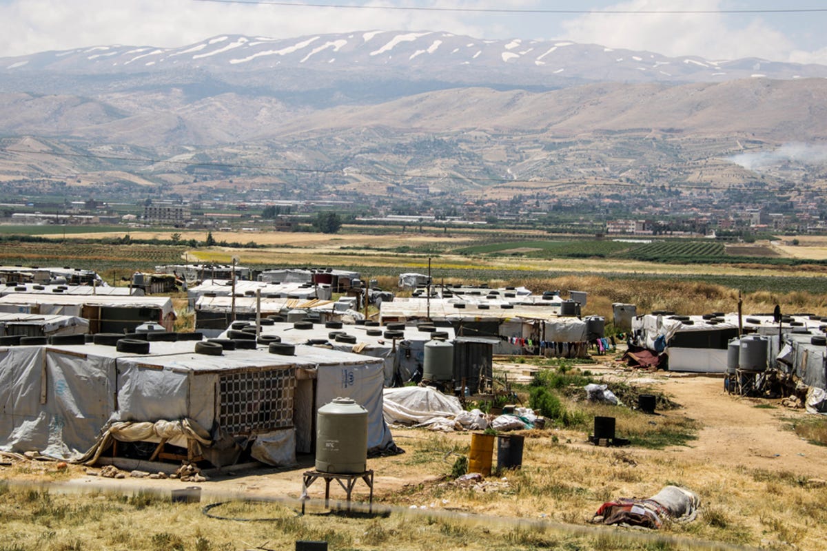
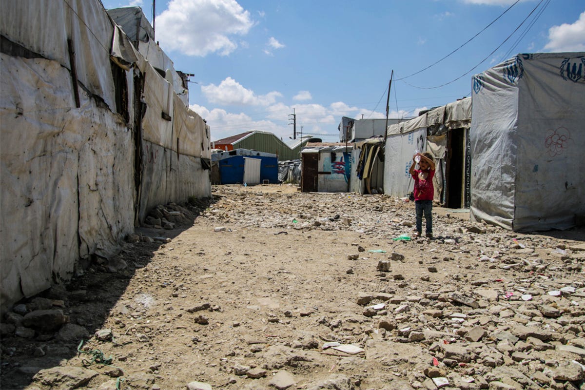
Lebanon hosts more than 900,000 registered Syrian refugees and an estimated 1.5 million unregistered refugees, making it the country with the highest per-capita population of refugees in the world.
More than 75% of these people live below the poverty line. Makeshift shelters and randomly scattered informal settlements have always posed a challenge for the humanitarian agencies working to support them with essential aid and services. The decentralised and informal nature of the refugee system combined with the general lack of street addresses in Lebanon makes relief coordination and delivery a permanent struggle, with the first major obstacle being the difficulty of collecting reliable and accurate statistical data on the ground.
Medair is an international humanitarian organisation dedicated to relieving human suffering in some of the world’s most remote regions, like the Beqaa Valley, a wide agricultural plain between Beirut and Damascus. Its innovative response to these challenges saw it became the first organisation to deploy Geographic Information System (GIS) technology to map refugee settlement locations. The key word to this technology is “geographic”, since the systems are designed to capture, store, manipulate, analyse, manage and present different kinds of data, some of which are spatial.
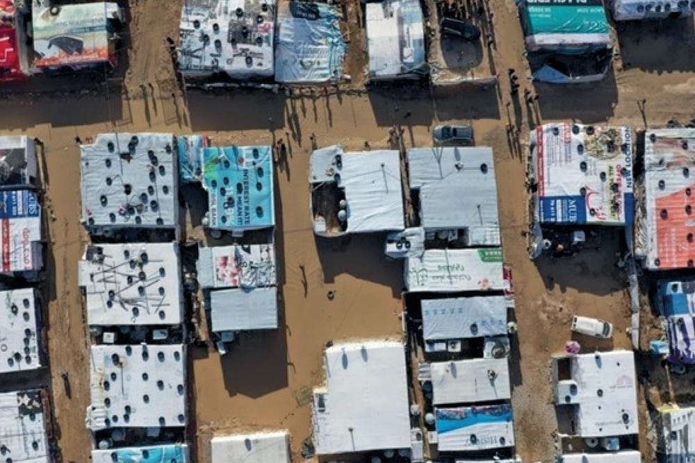
© Medair
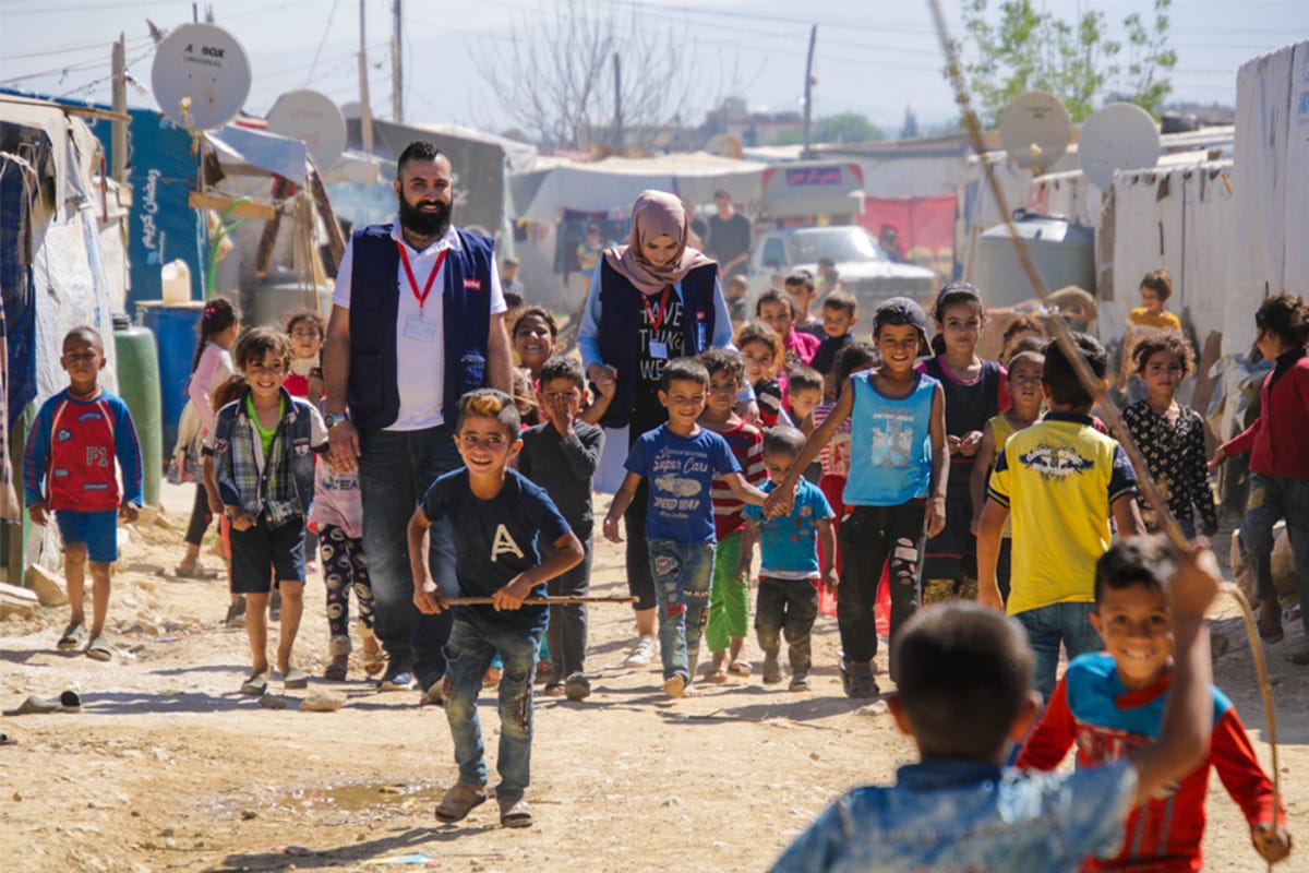
Medair applies GIS to refugee settlements in a streamlined way that can be updated in real time. The raw data is still collected and recorded without using high tech solutions like drones because human contact remains resolutely at the heart of every interaction. “There are human beings behind those numbers” says Reine Hanna, the Medair Project Manager who conceived the mapping project in 2013.
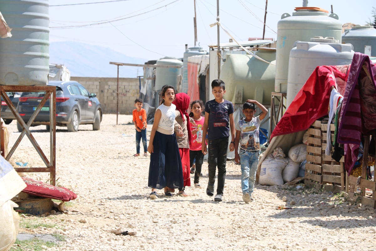
Armed with clipboards or cell phones, Medair teams started criss-crossing the Beqaa Valley and then the whole of Lebanon, capturing information about the informal settlements’ locations, residents and services only on their phones, and storing the data in a Last Mile Mobile Solutions secure database. They found isolated camps that had never been visited by aid organisations or received any assistance and began entering their coordinates, giving each informal settlement a PCode (place code) as a unique identifier or address.
“Giving people who have lost everything an address gives them back a little dignity” says Reine. The address appears as a point on the map. Clicking on this point allows Medair’s teams and every NGO active in the region to access the map from the app, together with additional information ranging from the number of people living in the camp to the number of tents and kinds of services available.
All the settlement data and maps are then collected and uploaded to a Google Earth application by the UN Refugee Agency UNHCR to support the coordination of on-the-ground assistance across various organisations and track their interventions.
With aid groups now able to access reliable information on the location of each person, they’re better able to identify and address refugee needs, including through incorporating outside data on factors like weather and flooding patterns to improve their overall response.